Hiking map – Karavanke (Slovenia) | Kartografija Cheap Supply
$15.00
SKU: Hiking map - Karavanke (Slovenia) | Kartografija Cheap Supply-10026
Categories: Kindle eBooks, Sports & Outdoors
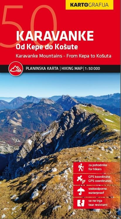
This map shows the marked trails (navided by difficulty), mountain shelters, points of interest, bus stops, car parks etc. On the back, description of mountain shelters with coordinates, photo and map. GPS points included.
This map is printed on a waterproof paper and does not tear with moisture.
1/50 000 scale (1 cm = 500 m).
Be the first to review “Hiking map – Karavanke (Slovenia) | Kartografija Cheap Supply” Cancel reply
Related products
Kindle eBooks
Kindle eBooks
$24.00
Kindle eBooks
$8.00
Kindle eBooks
$24.00


Reviews
There are no reviews yet.